LiDAR technology is based on collecting three different sets of data. Sensor position is determined by application of Global Positioning System (GPS), using phase measurements in a relative cinematics mode, while orientation is determined using Inertial Measurement Unit (IMU). The last component is a laser scanner that emits an infrared beam towards the ground, which is reflected towards the sensor. The time that has passed from emission to the reception of the signal, with knowledge of sensor position and orientation, enables precise calculation of three-dimensional coordinated on Earth.
Laser scanning technology LiDAR (Light Detection and Ranging) represents one of the fastest growing technologies in procedures for collection and processing of spatial information. The other name for LiDAR is light radar or laser radar. LiDAR operates in a similar way as a radar and sonar, only it uses light waves of the laser instead of radio waves or sound waves.
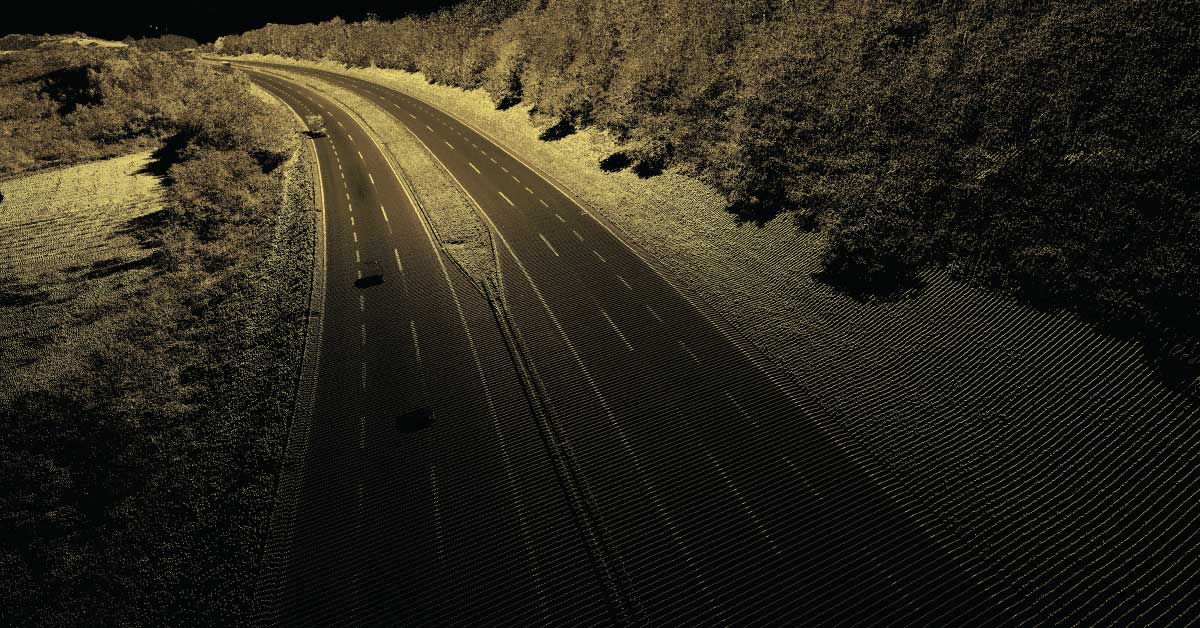
Scanning is done using the already known method of measuring distance and angle to a certain point in the surveyed area. Result of this kind of survey is a set of three-dimensional X, Y, Z coordinate points called point cloud. One of the main advantages is collection, processing and delivery of data in digital format. Point cloud is most often saved in ASCII format (XZY RGBI).