Skip to content
geogis konsultanti
  • Home
  • Services
    • Laser scanning
    • Photogrammetric survey
    • Geographic information system (GIS)
    • Engineering geodesy
    • Hydrographic survey
    • Land consolidation
    • Detection of underground installation
    • Digital topography
    • Remote sensing
    • Building information modeling – BIM
    • Unexploded ordnance (UXO) survey
    • LiDAR Archeology
  • References
    • Airborne laser scanning – ALS
    • Mobile laser scanning – MLS
    • Terrestrial laser scanning – TLS
    • GIS projects
    • Land consolidation projects
    • Cadastral – Topographical maps
    • Orthophoto maps
    • Engineering geodesy
    • Bathymetry survey
    • Unexploded ordnance (UXO) survey
    • LiDAR Archeology
  • Gallery
    • Laser scanning
    • Photogrammetric survey
    • GIS
    • Engineering geodesy
    • Hydrographic survey
    • Land consolidation
    • Detection of underground installation
    • Digital topography
    • Remote sensing
    • BIM
    • LiDAR Archeology
    • Miscellaneous projects
    • GeoGIS Consultants
  • About us
  • Contact
  • Српски језик
  • English

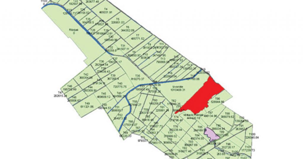
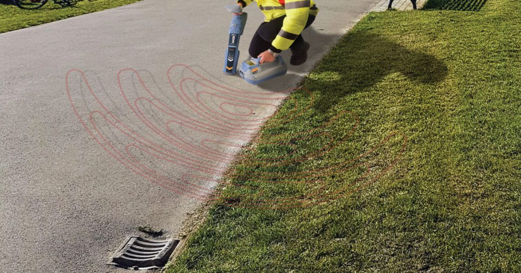
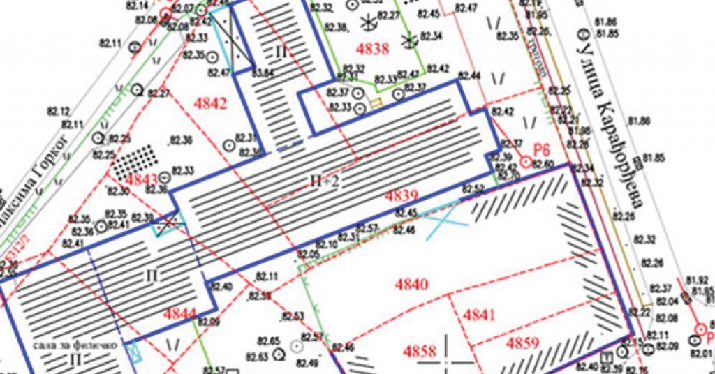
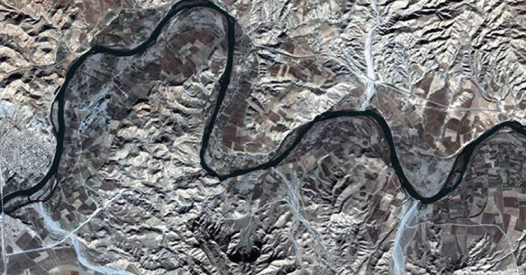
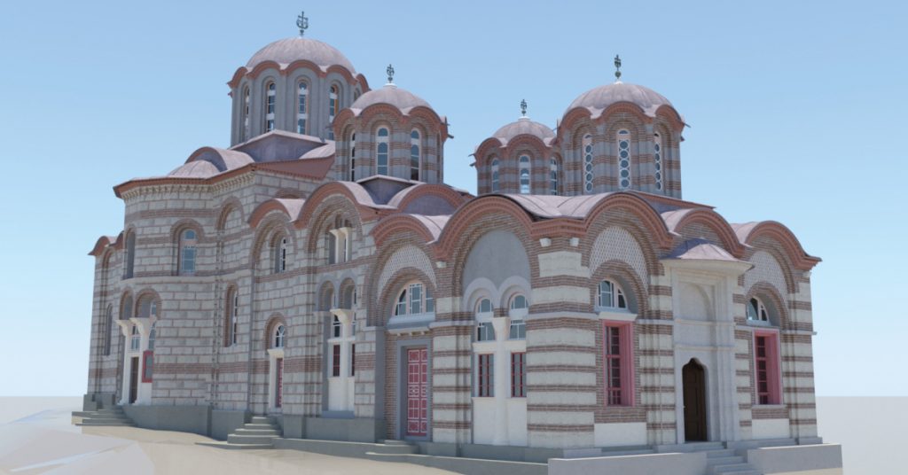
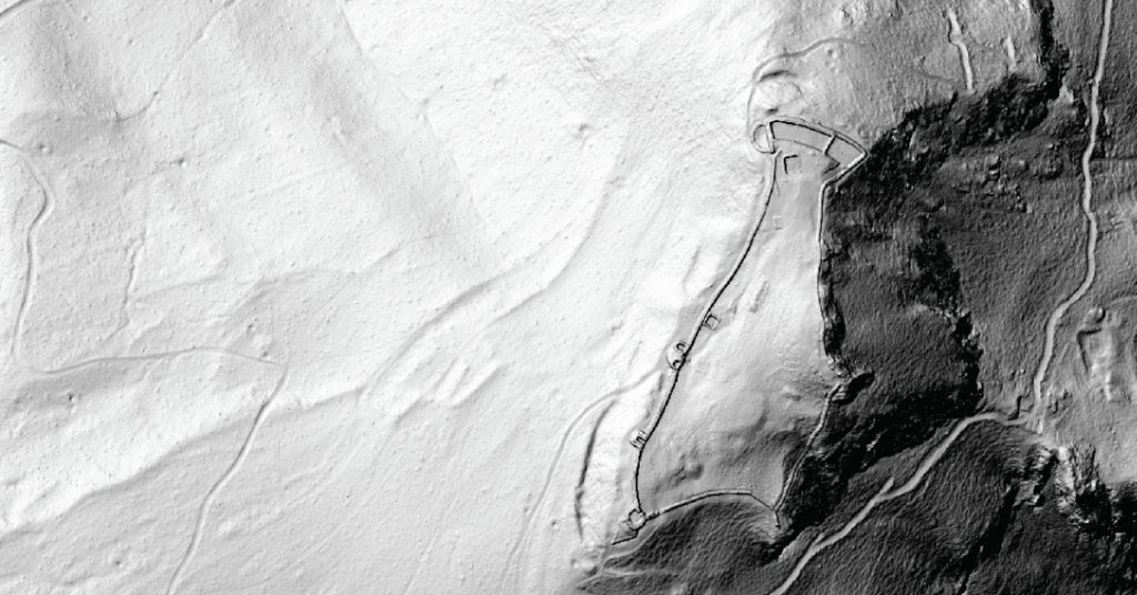
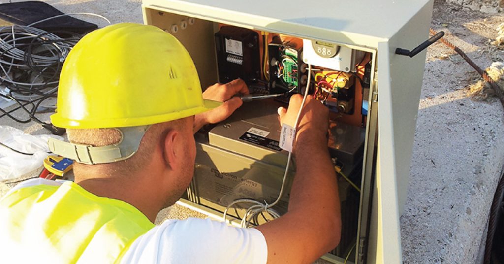
Gallery

Laser scanning

Photogrammetric survey

GIS

engineering geodesy gallery

Engineering geodesy

Hydrographic survey

Land consolidation

Detection of underground installation

Digital topography

Remote sensing

BIM

LiDAR Archeology

Miscellaneous projects

GeoGIS consultants

geogis consultants

+381 11 2624 923
+381 11 2910 856
Palmira Toljatija 5/IV
11070 Belgrade
Serbia

Contact

+381 64 1116 663
djordje.ninkov@geogis.rs
Đorđe Ninkov, direktor

+381 65 3336 448
tosa.ninkov@geogis.rs
ninkov.tosa@gmail.com
Prof. dr Toša Ninkov

+381 64 8932 776
spasoje.pavlovic@geogis.rs
Spasoje Pavlović

+381 64 8932 774
vladimir.susic@geogis.rs
Vladimir Šušić

Certificates

GeoGIS 2025, Developed by Web code 011