Skip to content
- Terrestrial laser scanning of the Karadjordje monument in Belgrade, Serbia (2016).
- Terrestrial laser scanning, photogrammetric measurement and 3D ortophoto maps creation of the Trećepozivačka česma at Zvezdara in Belgrade, Serbia (2016).
- Terrestrial Laser Scanning and creation of 3D model of the Serbian Supreme Command Observatory from Solunski Front at the Pionir Park in Belgrade, Serbia (2015).
- Terrestrial laser scanning and creation of 3D model of the outer and inner faces and two side walls of the Despot Gate at Belgrade Fortress, Serbia (2015).
- Terrestrial laser scanning and creation of 3D relief models on the facade of the Belgrade Liberation Cemetery, Serbia (2015).
- Creation of 3D model of memorial area „Marko Miljanov” in Podgorica, Montenegro as the basis for the Projects of rehabilitation and reconstruction of existing facilities.3D terrain model and 3D object modelling is done through computer processing of data collected by stationary Leica scanner, GPS and Total stations and aerial photos taken with a digital camera from unmanned helicopter. (2014).
- Creation of 3D model of Vrsac fortress, Serbia and creation of digital topographic maps as the basis for the Projects of reconstruction and rehabilitation of fortress parts, based on computer processing of point cloud collected by the stationary Trimble laser scanner. (2014).
- Creation of 3D model of fortress in Bac, Serbia and creation of digital topographic maps as the basis for the Projects of reconstruction and rehabilitation of fortress parts, based on the computer processing of point cloud collected by the stationary Trimble laser scanner. (2014).
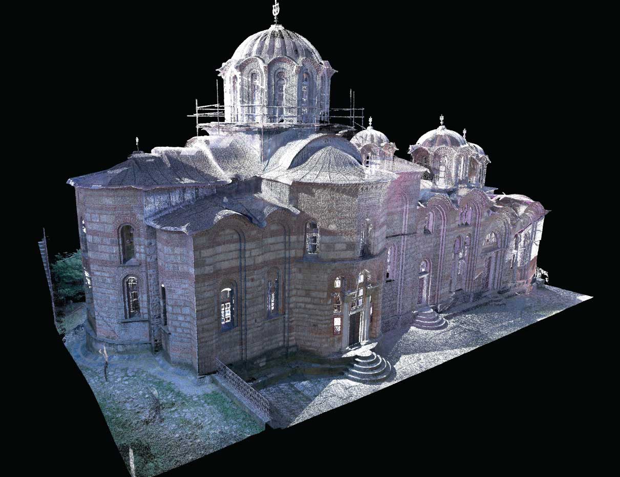
- Creation of 3D model of synagogue in Subotica, Serbia and creation of digital topographic maps as the basis for the Projects of reconstruction and rehabilitation of object, based on the computer processing of point cloud collected by the stationary Trimble laser scanner (2013).
- Creation of 3D model for the parts of the Belgrade fortress, Serbia and creation of digital topographic maps as the basis for the Projects of reconstruction and rehabilitation of fortress parts, based on computer processing of point cloud collected by the stationary Trimble laser scanner. (2012).
- Creation of 3D model of burned brewery in Pancevo, Serbia and creation of digital topographic maps as the basis for the Projects of reconstruction and rehabilitation of object, based on the computer processing of point cloud collected by the stationary Trimble laser scanner (2012).