Skip to content
- Reducing the flood risk through floodplain restoration along the Danube River and tributaries – DANUBE FLOODPLAIN, DTP2-003-2.1 Preparation of morphological parts of 2D model for Begecka Jama pilot site (current state and 2 restoration scenarios), including related surveys and measurements. Surveying and mapping of 1000 hectares of the wider area of the Begecka Jama area at the Danube River using mobile Lidar methodology. With computer processing of collected data were produced DTM, DSM, orthophoto maps and 3D maps as base for hydrotechnical and planning design activities (2019).
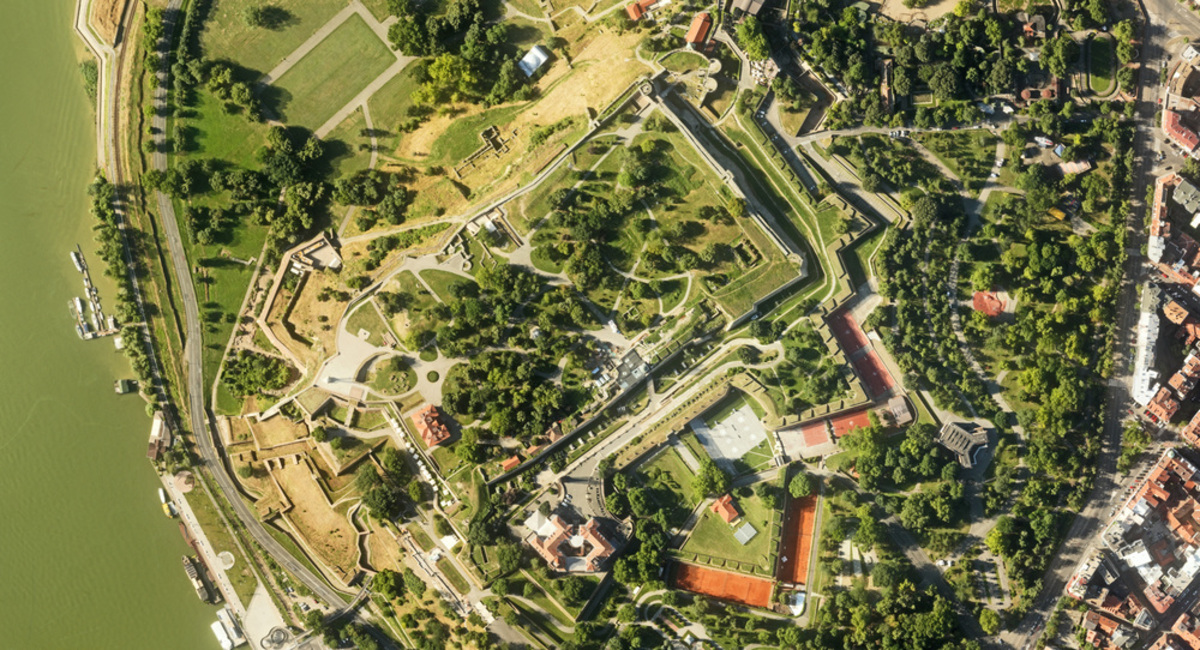
- Photogrammetric measurement and orthophoto map creation of the Bombas Monument in Zemun Park (2017).
- Topographic maps of Damaturu – Yobe state Nigeria (2008-2010). Producing 3D digital maps in scale 1:2500 on the base of computer processing stereo satellite images and longitudinal and transversal cross sections measured by continual kinematic GPS measurements. For computer processing and 3D analysis were used CAD/GIS program package and methodology. Project area is about 162 km2. Supervision during the Construction.
- Electro power line Leskovac – Border of Macedonia (2007). Production of 3D orthophoto maps in scale 1:2000 for the corridor (100 km long 400 m width) of electro power line from Leskovac to Macedonian border using data collected by Lidar technology.
- Bassara dam and irrigation system (Iraq) 3D Ortho photo Maps Production (2006) In order to provide high quality orthophoto maps for the Bassara dam and irrigation Project (Iraq), the following activities have been executed: taking over and scanning of existing maps 1:5000 of the entire project area; elimination of linear and non-linear distortions of scanned hard copies of indicated maps; digitalization of contour lines from scanned maps scale 1:5000 and creation of Digital Terrain Model (DTM) with ± 1 m accuracy; ordering 2 IKONOS multispectral pan sharpened satellite images of the project area with ground resolution of 1 m (size of pixel 1 m). Images covering an area of 25 km2; preparation of orthophoto maps of the project area in scale 1:2500; overlapping satellite images with existing scanned maps. Production of 3D digital maps in scale 1:500 and 1:1000 for the dam site location (about 350 ha) and in scale 1:2000 for about 4200 ha of irrigation area from data collected by precise electronic tachometry.
- Bekhma Dam (Iraq) – 3D Orthophoto Maps Production (2005). In order to provide high quality 3D orthophoto maps for the Bekhma Dam Project (Iraq), the following activities have been executed: taking over and scanning of existing maps 1:5000 of the entire project area; elimination of linear and non-linear distortions of scanned hard copies of indicated maps; digitalization of contour lines from scanned maps scale 1:5000 and creation of Digital Terrain Model (DTM) with ± 1 m accuracy; ordering IKONOS multispectral pan sharpened satellite images of the project area with ground resolution of 1 m (size of pixel 1 m). Images covering an area of 219 km2; preparation of 30 3D orthophoto maps of the project area in scale 1:5000; overlapping satellite images with existing scanned maps. GCPs were determined by Trimble 5800 GPS. For computer processing and 3D analysis were used CAD/GIS program package and methodology.
- Taq Taq Dam (Iraq) 3D Ortho photo Maps Production (2005). In order to provide high quality orthophoto maps for the Taq Taq Project (Iraq), the following activities have been executed: taking over and scanning of existing maps 1:5000 of the entire project area; elimination of linear and non-linear distortions of scanned hard copies of indicated maps; digitalization of contour lines from scanned maps scale 1:5000 and creation of Digital Terrain Model (DTM) with ± 1 m accuracy; ordering 6 IKONOS multispectral pan sharpened satellite images of the project area with ground resolution of 1 m (size of pixel 1 m). Images covering an area of 120 km2; preparation of 24 orthophoto maps of the project area in scale 1:5000; overlapping satellite images with existing scanned maps.
- Electro power line project 315 km long in Sultanate of Oman (2001). Topographic measurements 315 km long corridor and producing digital 3D maps for designing electro power line. Establishing local geodetic network and setting outs of location of pillars.
- Ortho photo and DEM Production for the Whole Territory of the Republic of Macedonia (in cooperation with the Ministry of Town Planning, Civil Engineering and Environment of the Republic of Macedonia) 2001. SPOT panchromatic satellite images are used. The project covered an area of 2 500 000 ha. Other project parameters are: 1 block; scale 1:50000 and 1:100000; 12 stereo pairs (one image covers 60x60km); orthophoto pixel size 10m; DEM pixel size 20m.
- Ortho photo and DEM Production for the Whole Territory of Musandan Peninsula (Sultanate of Oman) 2001. SPOT panchromatic satellite images are used. The project covered an area of 3 000 km2. The ground control points (GCPs) were taken from topographic maps in scale 1:25000 and direct measurements with Trimble GPS equipment – Model 4600. For computer processing and 3D analysis were used CAD/GIS program package and methodology.