Unexploded Ordnance (UXO) includes bombs, explosive devices left over from wars, explosive weapons (bombs, shells, grenades, mines, naval mines, cassette ammunition, etc.) that didn’t explode at the time they were placed and that still remain and pose a risk of detonation, sometimes even decades after they have been placed.
UXO devices are not always remnants of war. Areas used for military training can hold a significant number of UXO devices, even after the area had been deserted. Such areas are particularly contaminated. Here, we find ammunition that holds chemicals as explosive matter and perchlorates (components of pyrotechnics and rocket fuel) that can enter the soil and underground waters. Even if they don’t explode, with age and decay, they release environmental pollutants.
UXO devices from the First World War continue to pose threat due to poisonous gases in ammunition. When unwanted ammunition is found, it is destroyed in controlled conditions, which means that explosives have to be either detonated on site or safely transported to a location where they will be destroyed. In such situations, uneven movements can detonate UXO devices. Unfortunately, accidental detonations of very old explosives often happen with fatal consequences. The main issue is that over time, detonator and main charge deteriorate, which makes them sensitive to disturbances (movements), therefore, making them more dangerous to handle. Many weapons, especially aerial bombs, have been discovered during construction works, after they had been laying undetected for decades. Since these explosive devices didn’t explode upon fall, they remain undiscovered and unexploded, but it is no guarantee that they will not explode if disturbed. Activities at a construction site may activate unsuspected unexploded bombs.
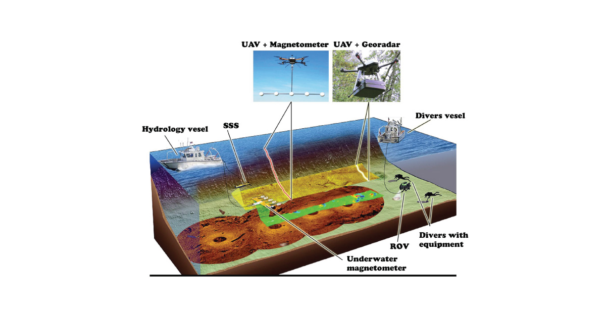
Survey of an area suspected to be contaminated with UXO devices is performed remotely via visual interpretation of available historical aerial photographs. Modern technologies can combine geotechnical methods and measurement methods with modern electromagnetic and magnetic detectors. This enables digital mapping of UXO contamination with the aim of better determination of excavation subzones, thus reducing the cost of excavation for each metal contact and speeding up the cleaning process. Magnetometer probes can detect UXO and provide geotechnical data before excavation and extraction of the UXO devices.
UXO survey is a process of scanning and probing of terrain or water environments in order to determine whether there are any unexploded materials, buried in the ground, in that area, ensuring that any planned construction site can function according to schedule, with minimum risk of having any bombs near. Accurate detection of unexploded ordnance while cleaning the UXO fields is necessary in order for that land or water body to be returned to public or private use.
During UXO survey, data quality and location accuracy are key to effective measurement and remediation of UXO fields. Using magnetometry, buried explosives are located by measuring differences in the Earth’s magnetic field that increase due to the presence of iron in UXO. Magnetometry can be enhanced using electromagnetic methods that reflect object’s metal conductibility. Both methods are valid and can be used individually or in combination.
Other services
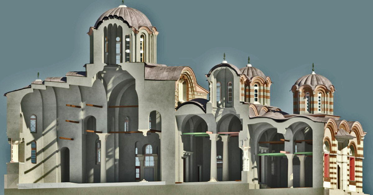
BIM is a resource for sharing knowledge and information regarding a building, thus forming a reliable decision-making base during its entire lifecycle.
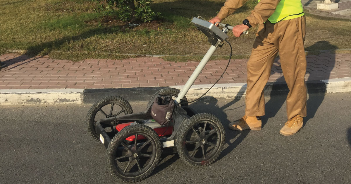
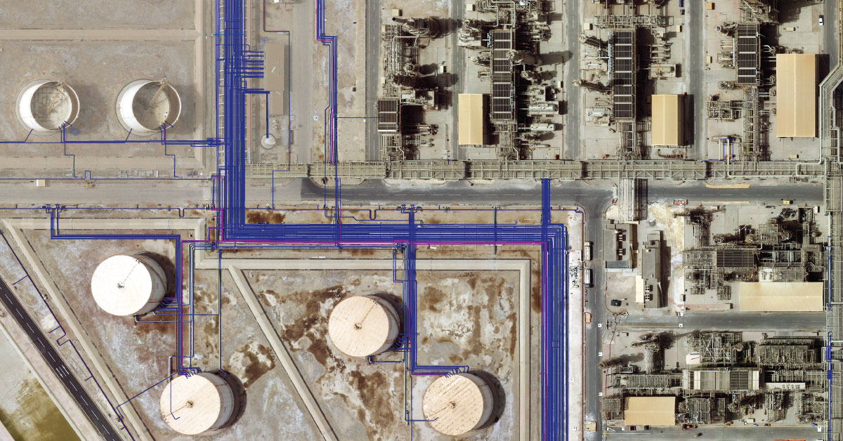
Detection of underground installations have become critical functions done before any other works. As our infrastructure network grows, the density of cables, pipelines and other installations grows as well.
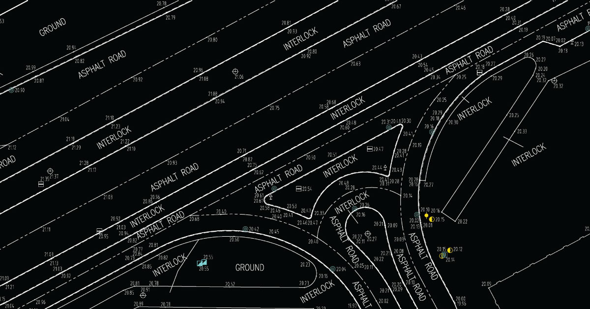
Digital topography represents geometric representation of spatial forms mapped according to corresponding geodetic and cartographic standards.
Geodesy is a scientific discipline concerned with measuring and representing Earth, its gravitational field and geodynamical phenomena, such as: pole shifts, tides and movement of tectonic plates.
In a narrow sense, GIS is a computer system capable of integration, storage, editing, analysis and display of information related to spatial location.
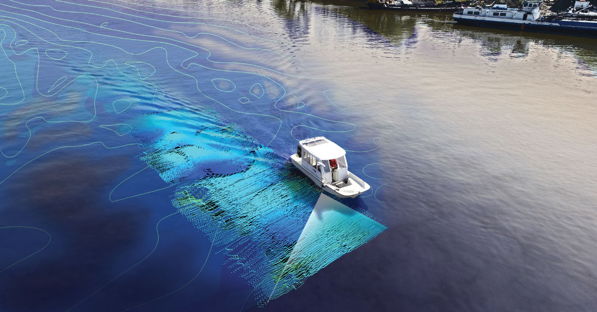
It is a branch of applied sciences concerned with measurement and description of physical characteristics of oceans, seas, coastal areas, lakes and rivers, as well as forecasting their changes over time.
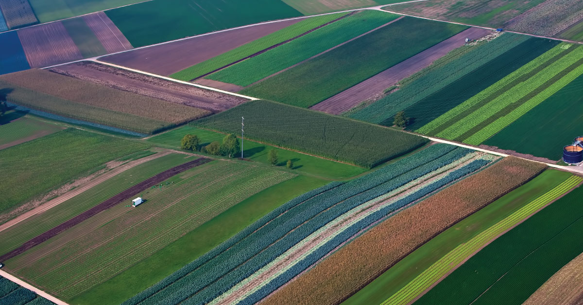
Land consolidation represents formation of larger agricultural parcels and reallocation of their ownership, whereby the number of parcels decreases and cultivation of more regular parcels is enabled.
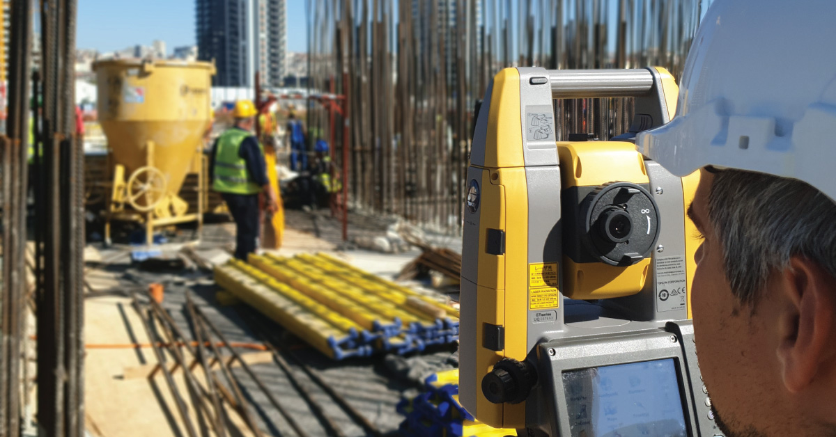
Laser scanning of terrain represents one of the most modern technologies used for mass acquisition of spatial data in the form of coordinate points in space using a laser.
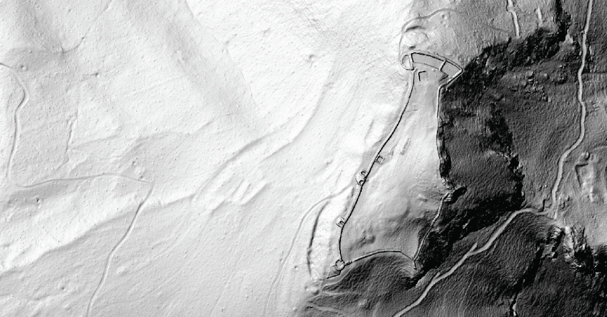
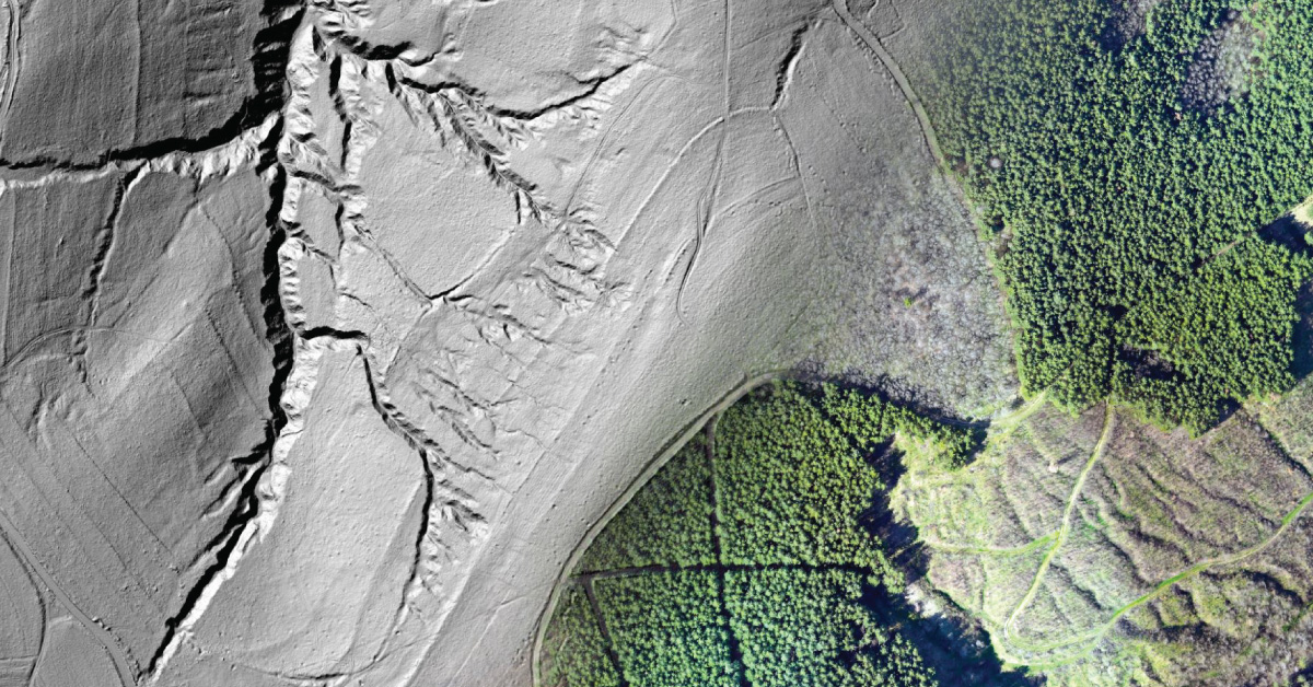
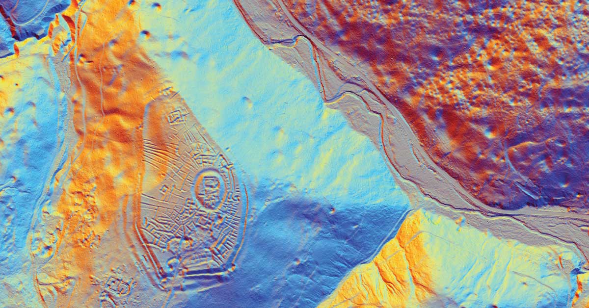
LiDAR is being used to lead a revolution in archaeology transforming how scientists understand human activity of the past.
The aim of photogrammetry is to obtain precize information regarding relief, topography of Earth’s surface, and its objects, for the purpose of producing geographic, topographic maps and plans, or 3D models.
Remote sensing represents mass geospatial data acquisition technology using systems that are not in direct physical contact with the investigated phenomenon or object .