Skip to content
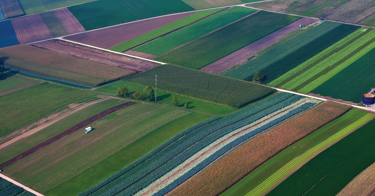
- Design of topographic work for land consolidation project of municipality Čoka. Design of topographic work using GPS, Photogrammetry and LIDAR data collection and production DTM, DSM and 3D maps with contour line as base for designing channels and rural roads network and Land consolidation project (2019 – ongoing project).
- Execution of geodetic – technical works for land consolidation project in Voljčinac, Municipality of Žitoradja (2015-2018)
- Execution of geodetic – technical works for land consolidation project in Feketić, Municipality of Mali Iđoš (2013-2017)
- Execution of geodetic – technical works for land consolidation project in Pavliš, Municipality of Vršac (2012 – 2016)