Skip to content
- Execution of a topographic survey scanning by Lidar Technology with processing in the area of Kotor and Tivat. Design and realization of surveying and mapping 110 km2 area near Tivat and Kotor for geological investigation project, using mobile Lidar and photogrammetry methodology. With computer processing of collected data were produced DTM, DSM, orthophoto maps and 3D maps as base for geological and planning and design activities. (2018/2019)
- Mobile Laser scanning and precise tachometry survey of streets corridor over 150km (800ha) in central and suburban zone of Doha, Qatar, DN005 Umm Salal Muhammed. Production 3D digital maps in CAD/GIS standard format. (2018)
- Mobile Laser scanning and precise tachometry survey of streets corridor over 400km (3000ha) in central and suburban zone of Doha, Qatar, DN099 Al Eeb, Lebaib, DN004 Al Izghawa and Kharaitiyat, DN 073 Duhail South and Umm Lekhba. Production 3D digital maps in CAD/GIS standard format. (2018)
- Project of determination of flood zones for motorway corridor Preljina – Pojate E761, Serbia. Design and realization of surveying and mapping E761 motorway corridor with flooded area about 240 km2 using mobile Lidar and photogrammetry methodology. With computer processing of collected data were produced DTM, DSM and 3D maps for production of flood and risk map of about 140 km Zapadna Morava river valley. (2017/2018)
- Airborne and Vehicle Lidar scanning for developing topographical as built maps of new Highway project Milos The Great E-763, Serbia, in a total length 23.3 km, Sections: Ljig- Boljkovci and Boljkovci – Takovo. (2017)
- Design of topographic work for land consolidation project of municipality Coka, Serbia. Design of topographic work using GPS, Photogrammetry and LIDAR data collection and production DTM, DSM and 3D maps with contour line as base for designing channels and rural roads network I Land consolidation project. (2017/2018)
- Mobile Laser scanning from vehicle, photogrammetric survey of regional roads 33 km length and all associated facilities and creation GIS database. (2017)
- Gas pipeline corridor mapping in South Serbia. Design and realization of surveying and mapping gas pipeline corridor 135 km long and 1 km width using mobile LIDAR and photogrammetry methodology. With computer processing of collected data were produced DTM, DSM and 3D maps as base for planning and design activities. (2017).
- Project of production 3D topographic maps mine location near Bor, Serbia. Design and realization of surveying and mapping 300 km2 area near Bor, for geological investigation project, using mobile Lidar and photogrammetry methodology. With computer processing of collected data were produced DTM, DSM and 3D maps as base for geological and planning and design activities. (2016/2017)
- Mobile Laser scanning from vehicle, development of 3D point cloud and 3D model of Pipe Rack for the reconstruction of Refinery ADCO in Abu Dhabi, UAE. Project: „Detail engineering for epc of main pipe rack structural integrity analysis in BCDS” (2016).
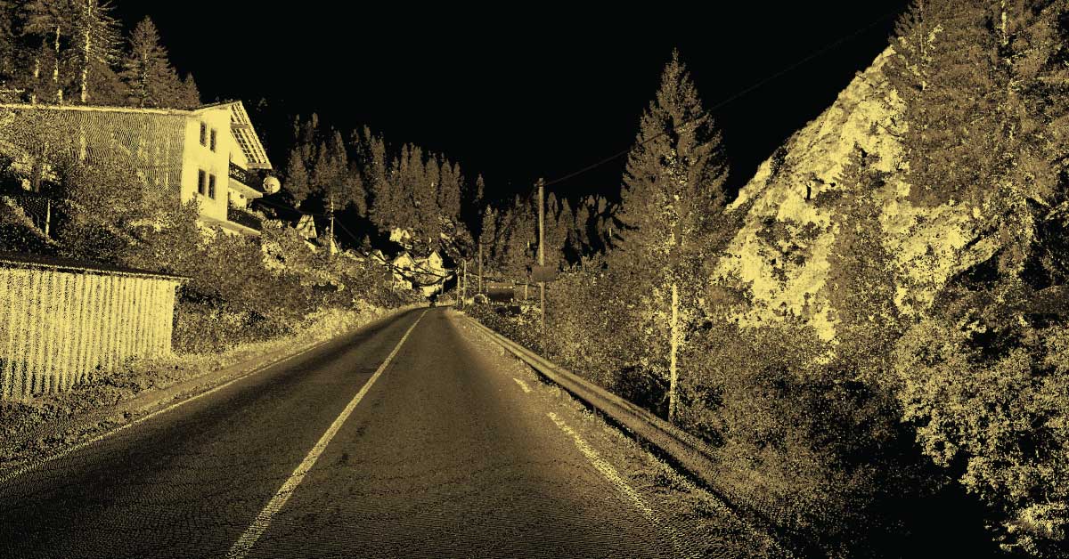
- Laser scanning measurements from the car and small airplane existing road from Rozaje, Montenegro to Border to Serbia in length 23 km and production 3D terrain model and 3D maps as base of this section reconstruction project. (2016)
- Laser scanning measurements from the car and small airplane corridor for the new motor way from Berane to Andrijevica, Montenegro in length 21 km and production 3D terrain model and 3D maps as base of main design project. (2016)
- Laser scanning measurements from the car and small airplane new constructed road Ljig- Gornji Milanovac in length 21.5 km and production 3D terrain model and 3D maps as base for production as build project. (2016)
- Mobile Laser scanning and precise tachometry survey of streets corridor over 300 km in central and suburban zone of Doha, Qatar. Production 3D digital maps in CAD/GIS standard format. (2012, 2013 and 2014)