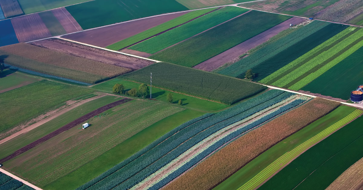
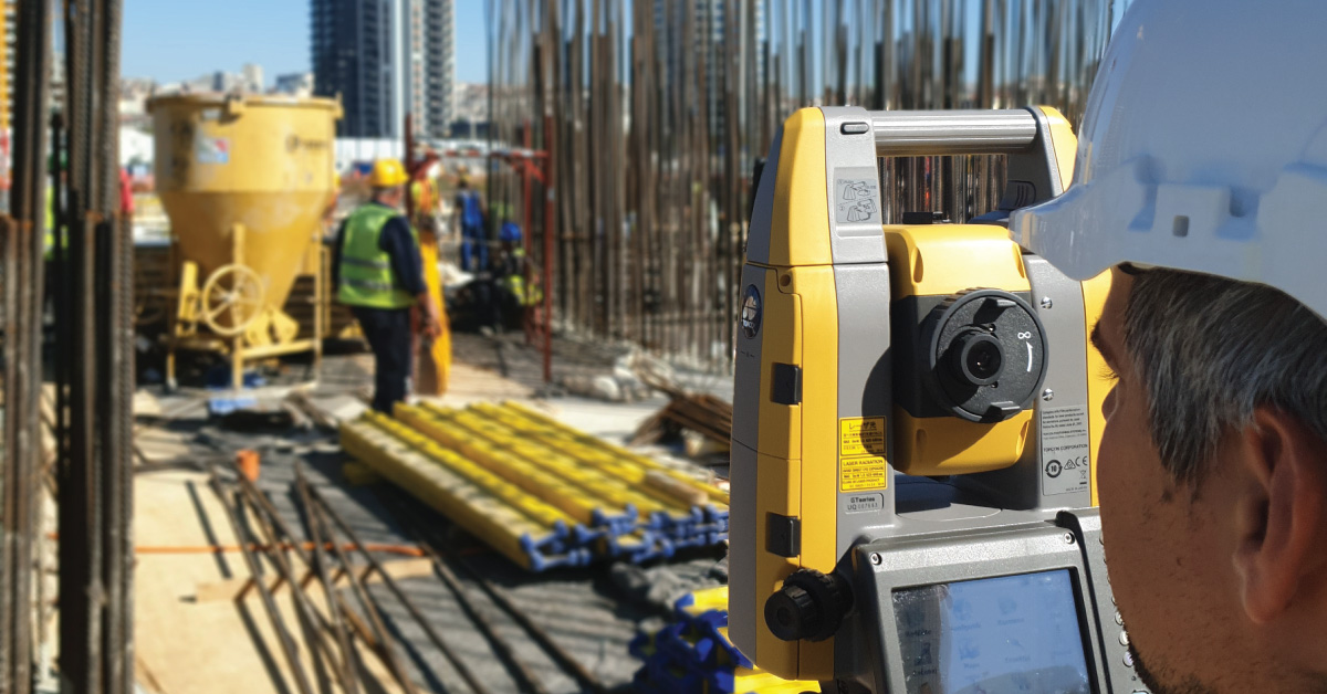
Fragmentation of land in Serbia is a great problem for development of agricultural production.
Land consolidation represents formation of larger agricultural parcels and reallocation of their ownership, whereby the number of parcels decreases and cultivation of more regular parcels is enabled. in that way, agricultural production on that land is improved. Land consolidation implies planning of agricultural production, designing, construction and rehabilitation of rural roads, irrigation systems and forest belts, implementation of protection measures (protection of water, land, forests, plant and animal life, environment). During this process, numerous issues are being resolved, and it includes both survey experts and experts from other fields — lawyers, agronomists, hydrotechnicians, urban planners…
Land consolidation is a complex of spatial-planning, legal, organisational, economic and technical measures implemented in order to improve natural, economic and environmental conditions of life and work on rural territories, including physical planning and rehabilitation of rural settlements. Land area is part of the total space outside settlements (urban area) and it includes arable land, surface water, non-arable land, built-up and related land.
Parcel is a limited piece of land and it is defined by culture and owner, and as such, it comprises one topographic unit. As an organisational unit of crop production, parcel implies measured land area that can in its entirety be used in a same way and that offers possibility to simultaneously cultivate same crops and perform same work processes. Parcel needs to have uniform landforms and the soil should have similar pedological characteristics. Production costs and yields depend on the size and shape of the parcel, topographic characteristic of the terrain and distance from commercial yard. Optimal shape of the parcel enables efficient use of modern-day agricultural machinery in soil cultivation. Optimal length and width of a parcel impact the distance between roads, i.e. unnecessary construction of dense road network. Road network, together with canal network, forms regular tables and direct access to parcels is also enabled. From the standpoint of rational usage of modern agricultural machinery, a parcel should be an area that meets the conditions of rational work organisation and performance of work processes with satisfactory work productivity and rational use of machinery.
Implementation of land consolidation in Serbia solves several current issues regarding land, and not just land consolidation. Thus, land consolidation could solve the following:
- property-legal relations on land,
- land fragmentation,
- economics of agricultural production,
- harmonisation of cadastres and land registry,
- issue of elderly households,
- irrigation or drainage needs,
- needs of new digital survey plans for creation of GIS database,
- physical planning of space,
- environmental protection needs,
- need of infrastructure construction and
- cadastre maintenance procedure.
Physical planning of areas that will be subjected to land consolidation need to be adjusted to existing and harmonised with planned infrastructure.
Cadastre or cadastre plans maintenance after implemented land consolidation in a certain cadastral municipality becomes much simpler because the number of cadastral parcels decreases significantly. Development of villages enables more even development of state territory and decreases migration of population from villages to cities. Apart from improvement of agricultural production, other business activities, such as services, tourism, development of small and medium companies with engagement of unexploited potentials of rural territories, are also initialised. Land consolidation should also create conditions for trade and leasing of land, which would definitely be good for elderly households that are not capable of cultivating the land.
Other services
BIM is a resource for sharing knowledge and information regarding a building, thus forming a reliable decision-making base during its entire lifecycle.
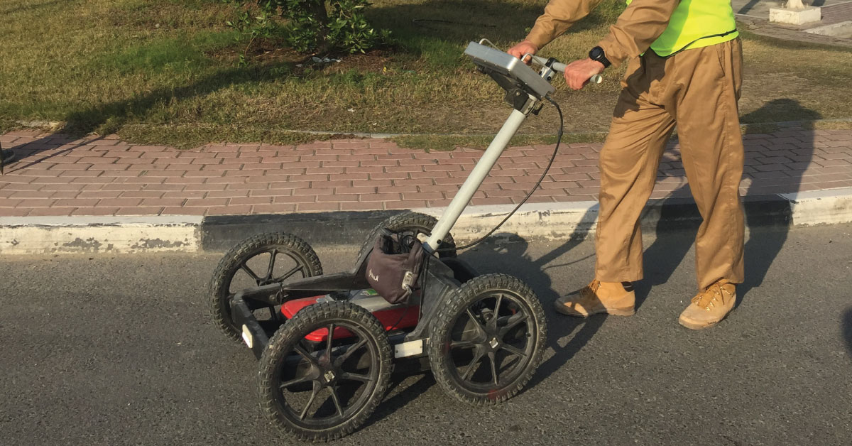
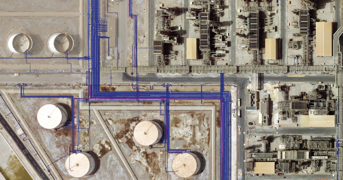
Detection of underground installations have become critical functions done before any other works. As our infrastructure network grows, the density of cables, pipelines and other installations grows as well.
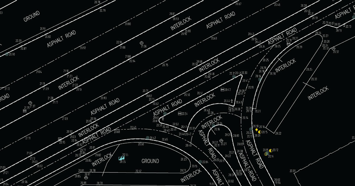
Digital topography represents geometric representation of spatial forms mapped according to corresponding geodetic and cartographic standards.
Geodesy is a scientific discipline concerned with measuring and representing Earth, its gravitational field and geodynamical phenomena, such as: pole shifts, tides and movement of tectonic plates.
In a narrow sense, GIS is a computer system capable of integration, storage, editing, analysis and display of information related to spatial location.
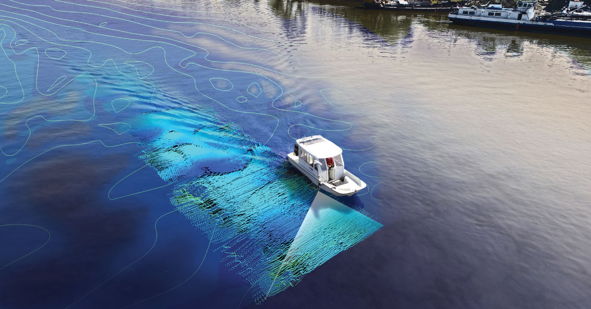
It is a branch of applied sciences concerned with measurement and description of physical characteristics of oceans, seas, coastal areas, lakes and rivers, as well as forecasting their changes over time.
Laser scanning of terrain represents one of the most modern technologies used for mass acquisition of spatial data in the form of coordinate points in space using a laser.
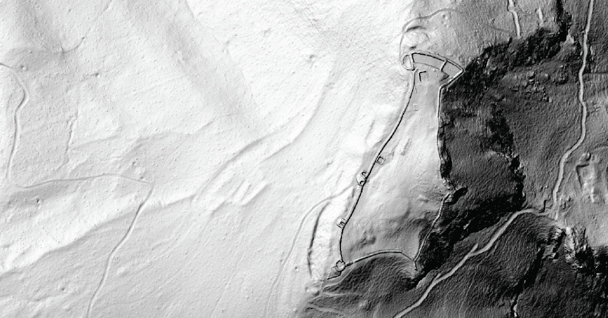
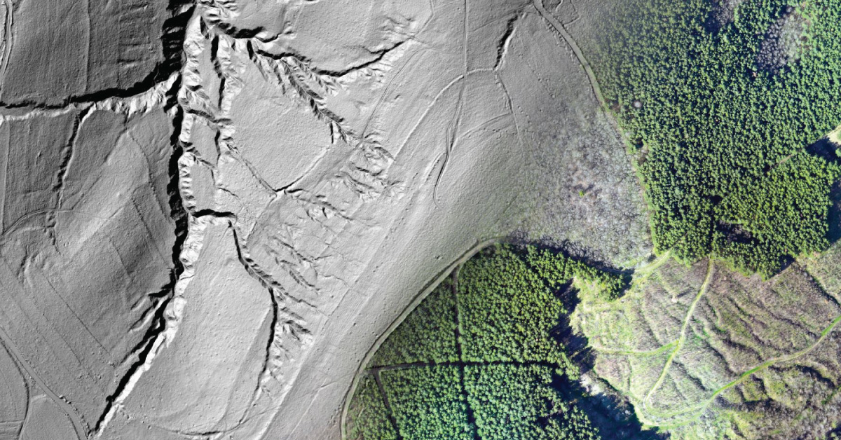
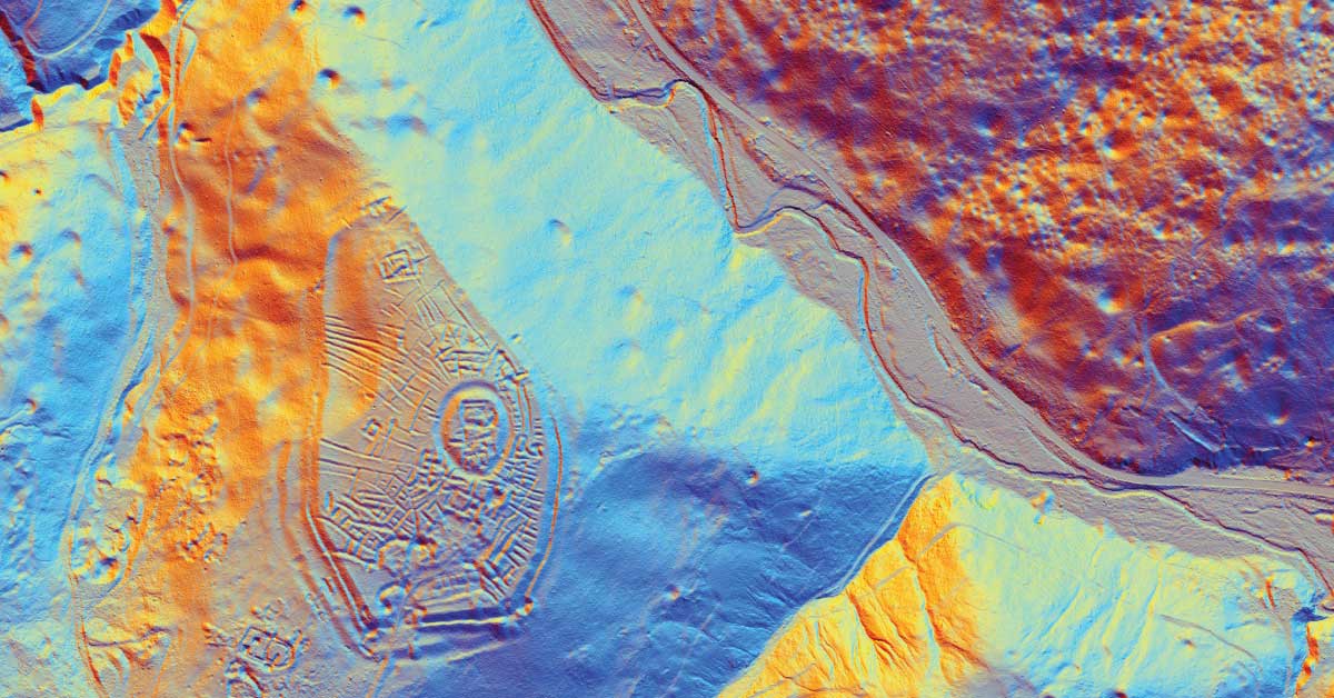
LiDAR is being used to lead a revolution in archaeology transforming how scientists understand human activity of the past.
The aim of photogrammetry is to obtain precize information regarding relief, topography of Earth’s surface, and its objects, for the purpose of producing geographic, topographic maps and plans, or 3D models.
Remote sensing represents mass geospatial data acquisition technology using systems that are not in direct physical contact with the investigated phenomenon or object .
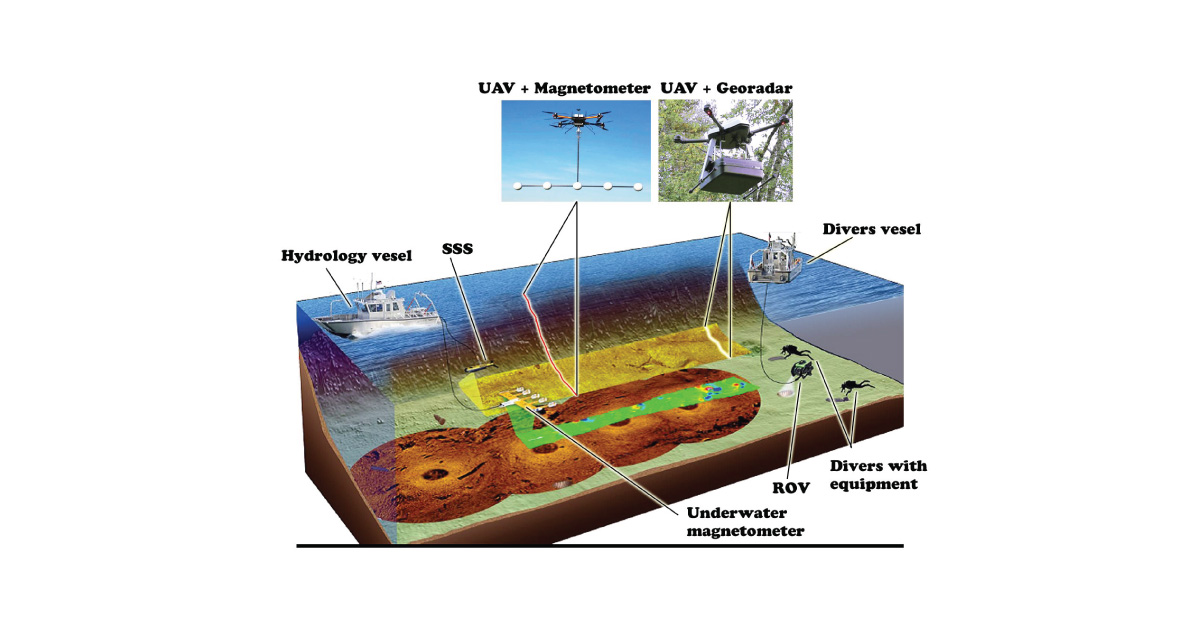
(UXO) includes bombs, explosive devices left over from wars, explosive weapons that didn’t explode at the time they were placed and that still remain and pose a risk of detonation.