Skip to content
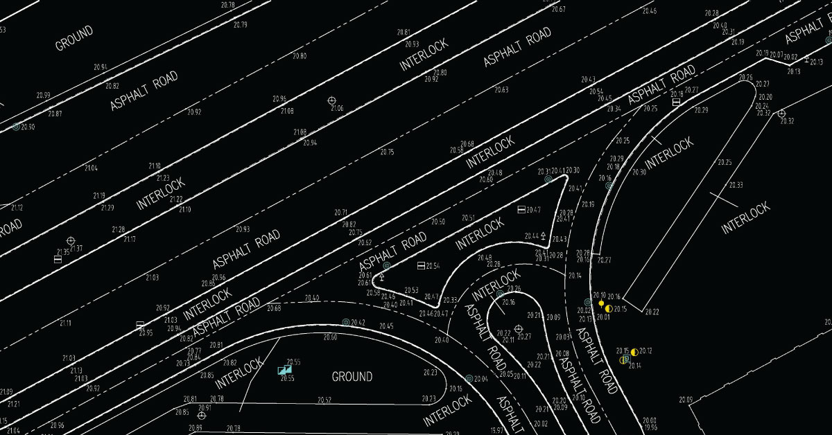
- Production of 3D cadastral topographical maps and orthophoto maps in standard Cad/GIS formats for 43 km long corridor of regional sewerage system Vladicin Han – Surdulica (2017). Project area is about 5200 ha. Computer processing collected data by mobile laser scanner installed on car, helicopter and small air plane and data delivered by Republic Geodetic Authority were realized by standard CAD and GIS program package
- Digital mapping area of stone mine on Musandan Peninsula, Sultanate of Oman (2001). For the stone mine site area (400 ha) on Musandan Peninsula were produced digital 3D maps on the base of precise electronic tachometry measurement.